ArcGIS Explorer Training Session
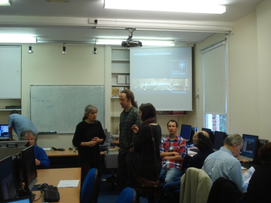
Last Saturday (28th April) I went to Rewley House for a training session on ArcGIS Explorer, a free GIS software package, given by Dr Mike Athanson from the Bodleian Library Map room. It took place in the computer training room, which was why the places were limited – as there are only sixteen workstations and it was very much a hands on experience. It was split into two sessions – Beginner and Intermediate – with Mike giving a 30 to 40 minute talk followed by us getting on with the exercises in the accompanying workbooks.
The Beginners session started with Mike explaining what GIS is (as we discovered that about half the people at this session hadn’t been to the introductory talk that Mike and I gave last Monday) ; a Geographic Information System, and then detailing what geographic data is – Spatial data; where stuff is, and Attribute data; what stuff is. He then went on to differentiate between the three types of Spatial data – Vector; a mathematical definition of points, lines or polygons/regions, – Raster; different colours arranged in columns and rows (like a digital photo) or – Grid; rather like a Raster but with different values rather than colours, say heights or land use information in each square in the grid. After that he described how the data is stored on the computer(what sort of files and where they are kept; he said that once you’ve got the files on the computer, don’t move them around as you can lose the relationships between vital files) and then pointed us at a few websites where we could download GIS data. Then we were let loose on the exercises, where we practiced what Mike had been describing, as well adding ‘notes’ (points; markers for a specific location, – lines; like routes, and – polygons; areas) each with their own pop-up windows with editable content; thankfully he was on hand to sort out the various problems as they arose. We worked through at our own pace and then broke for lunch, and a stretch of the legs.
The second session – the Intermediate part – started with Mike telling us how to import data into Explorer. This consists of either text files of delimited text (text separated by, say, commas) or spreadsheet data – basically text data arranged in rows and columns – this can be imported into Explorer and each row is displayed as a separate ‘note’; this is a limitation in Explorer as you can only import data for display as points, not as lines (for a route, for example) or regions. Then we got onto Queries and an introduction to the joys of SQL (Structured Query Language) – a subject for a session of it’s own, I’d say, though Explorer does give one an editor to help one through it. This is where we can, for example, run a query to work out all the cities with a population over 5 million, and display them on the world map. Queries can also be run on areas – we can work out all the points within a particular area, or areas, for instance.
Then Mike went on to describe Geo-referencing – one of the really fun things you can do with GIS. The real power of GIS comes from the fact that every point on a map in a GIS package ‘knows’ its position, geo-referencing is where you take a raster image (a scan of an old map, or an aerial photograph) and add it to Explorer, telling Explorer where to position it by comparing points on the image with their corresponding points on the map in Explorer – then you can use it as you would any map in Explorer. The last point covered was how to add other content (photos, videos, etc) to the pop-up window associated with notes. As before, the session then continued with us all working on the examples in the workbook to get hands-on experience of what Mike had been talking about – as usual in life, it’s not quite as simple as the expert makes it look!
A great day – I’m sure everyone else did what I did and downloaded all the data so I can work on it at home; it was a bit too much to take in at one sitting. Many thanks to Mike for passing on so much information so painlessly and in such an interesting way.
Leigh
